


Seytroux Summits
A beautiful hiking route with excellent views and wild flowers along the way
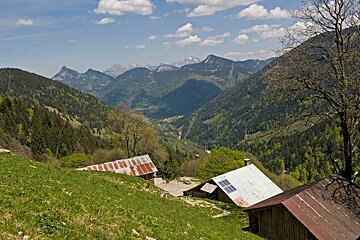
You may spot some of the local wildlife along the way but you are sure to take in and enjoy the panoramic views of the mountains. This hike is only recommended in very good weather, and with an altitude change of 700m you must be fully equipped and prepared.
What to bring
This route can be found on IGN map 3528, Morzine - Massif du Chablais.
Directions
From the car park take the track signposted Col de la Balme until you reach L'Avanchereau. Continue along to the right and take the little wood pontoon which covers the bogs. Once you reach Col de Balme take the forest track towards La Pointe de la Gray and follow the ridge leading to the summit. Here you will see the amazing views of Mont Balnc and Roc d'Enfer. Go along the ridge to Col des Chauvannes and continue downwards towards the fields. From here you can take the forest path towards Les Culees, and once you reach the 'Altitude 1,450m' signpost, turn right and head through the forest to get back to the car park.